A great earthquake can soon occur in the Fukushima area

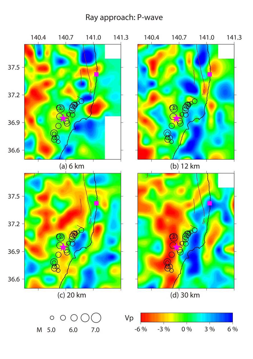
Japanese geologists warn that in the near future there is a great risk of earthquake in the Fukushima area. To conclude this, in addition to analyzing data from 6,000 earthquakes, subsurface tomographic images of the area have been taken and analyzed. The results of the study were published in the journal of the European Geosciences Association (AIAF).
One month after the earthquake that caused the Fukushima disaster, another major earthquake occurred in Iwaki (magnitude 7). Unlike the March 11 earthquake, its epicenter was on land, 60 km from the Fukushima nuclear center and 200 km from the epicenter of the previous earthquake.
Geologists have shown that the Iwaki earthquake occurred as a result of leaks poured upwards by introducing the Pacific plate under the skin. It seems that the Pacific plate is moving to the northeast of Japan, which means a warming of the minerals and an increase in pressure on them. “As a result, the minerals lose water and the fluids that form are more fluid than the surrounding rocks. So they go up and move the faults”, explains the geologists.
The conclusions are clear: From 11 March to 27 October 2011, 24,000 vibrations were detected, 1,300 in the previous 9 years. Geologists have made it clear that they cannot accurately predict when the next major earthquake will occur, but have said the risk is evident. Taking into account the existence of nuclear power stations in the area, measures have been recommended to avoid the catastrophe.
On this topic we speak in the program Faktoria of Euskadi Irratia.


